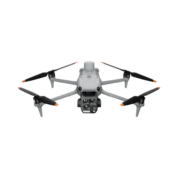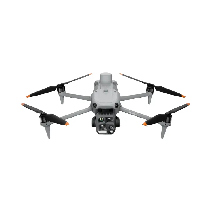

DJI Matrice 4 Enterprise Survey Package
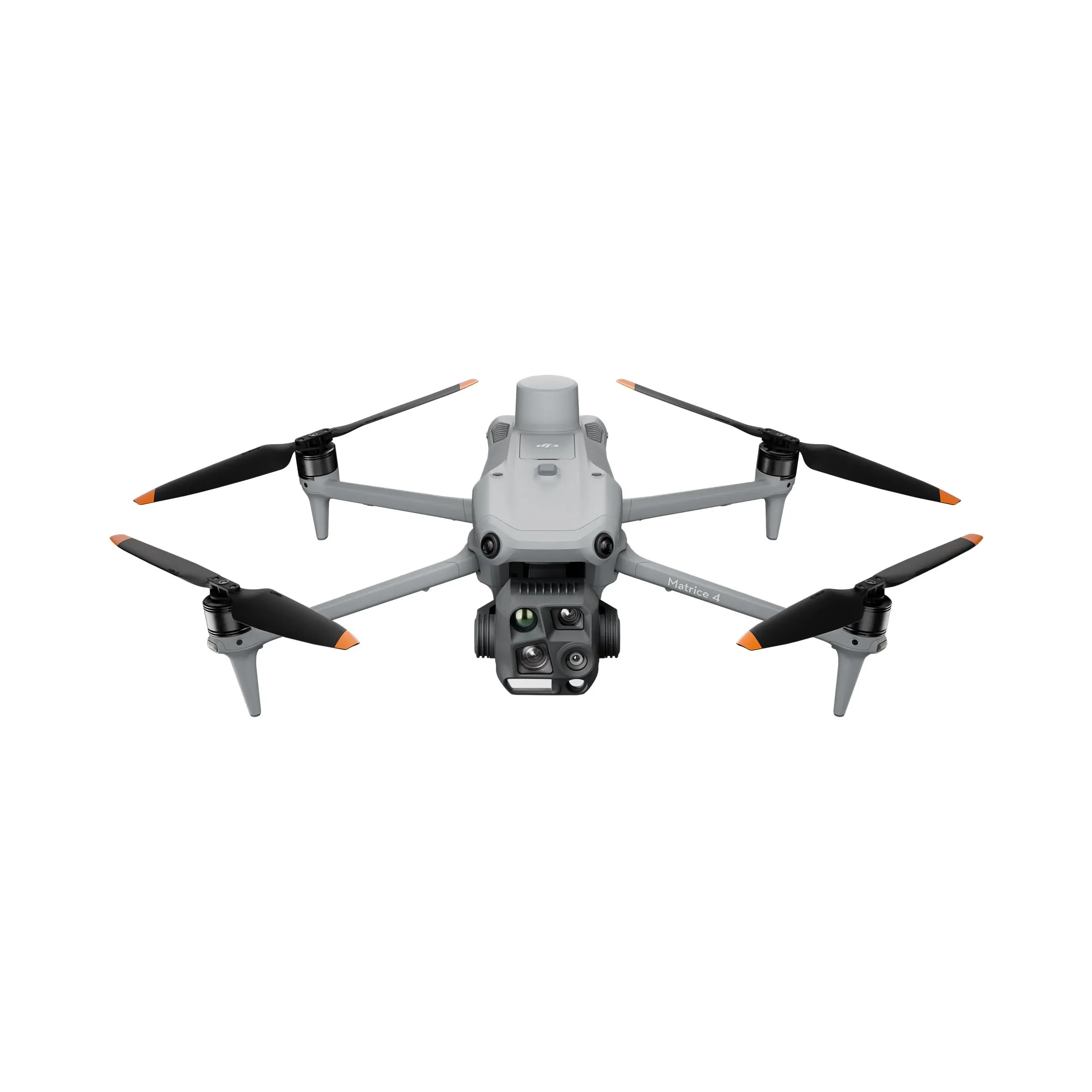
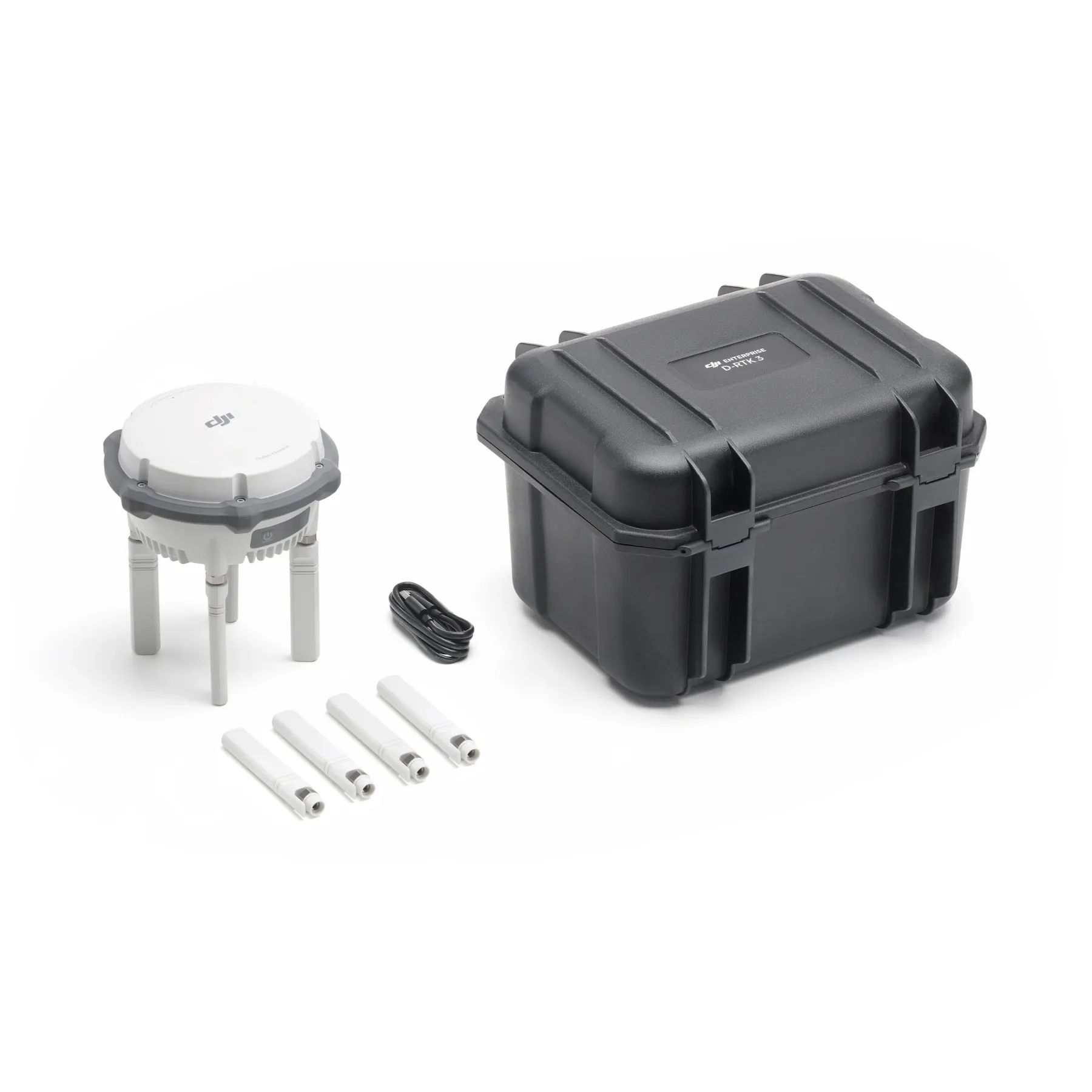
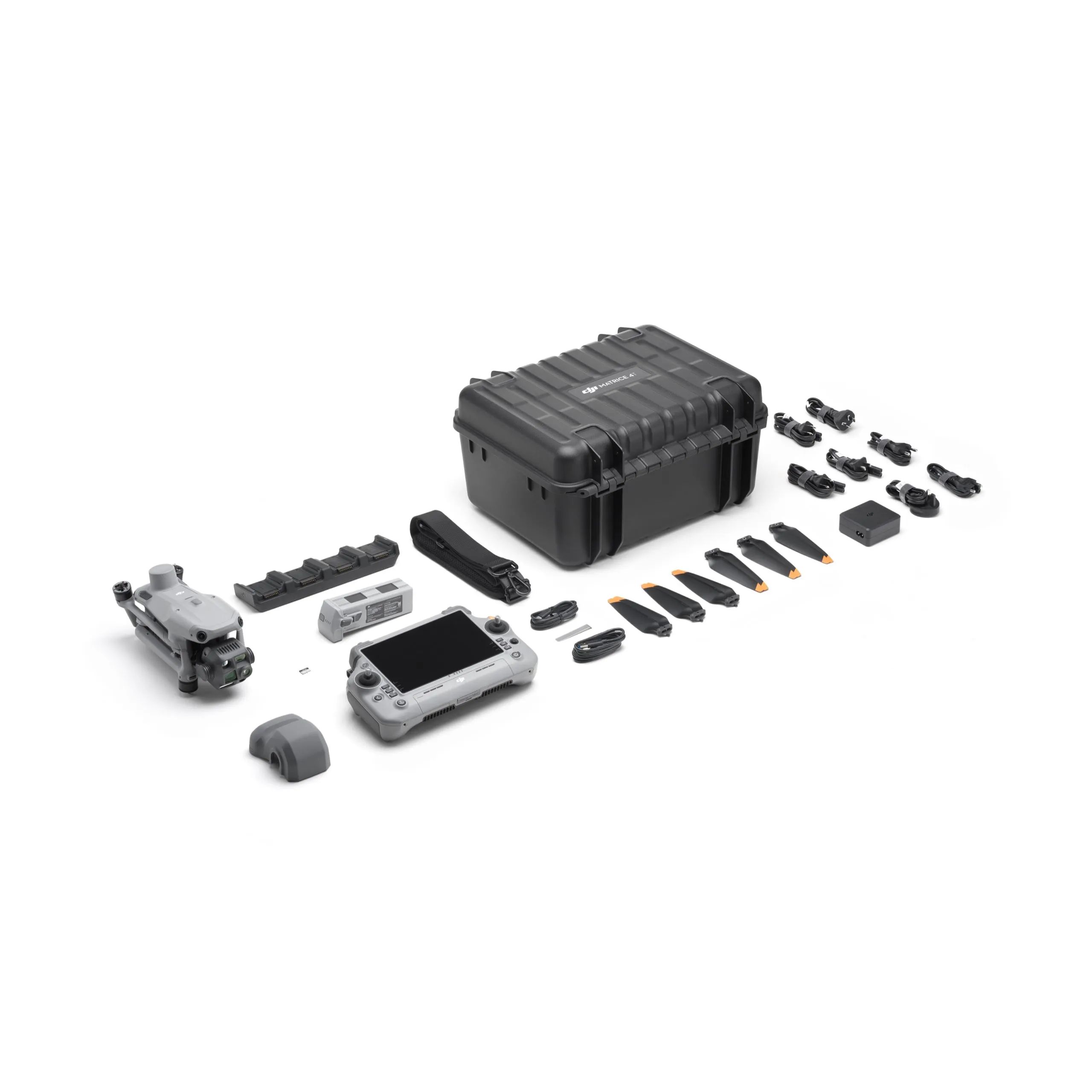
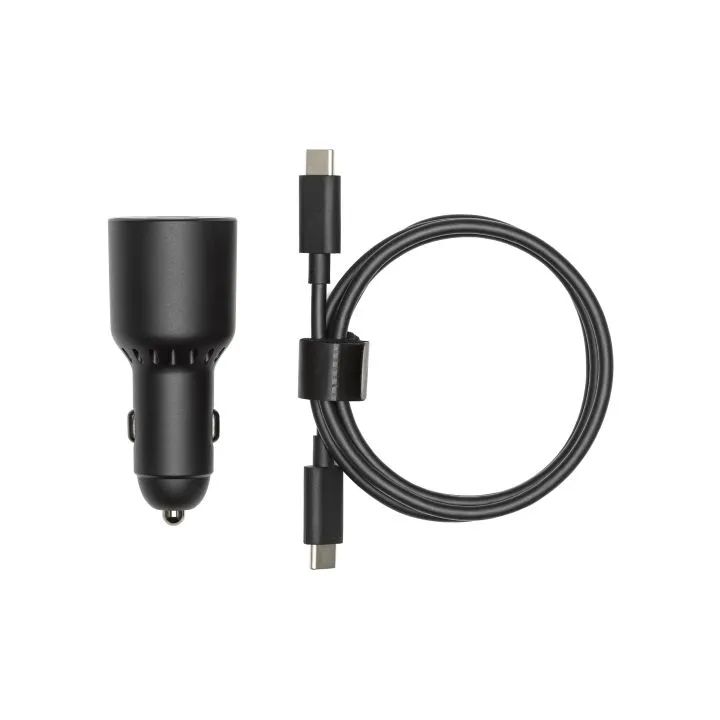
The DJI Matrice 4 Enterprise Survey Package is a commercial-grade aerial mapping solution designed to deliver high-precision data for surveying and geospatial professionals. This comprehensive package features the advanced DJI Matrice 4 Enterprise platform, complete with DJI Care Enterprise Plus for comprehensive coverage and peace of mind.


Intelligent Operations With AI
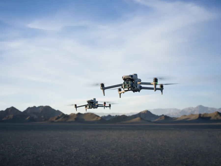
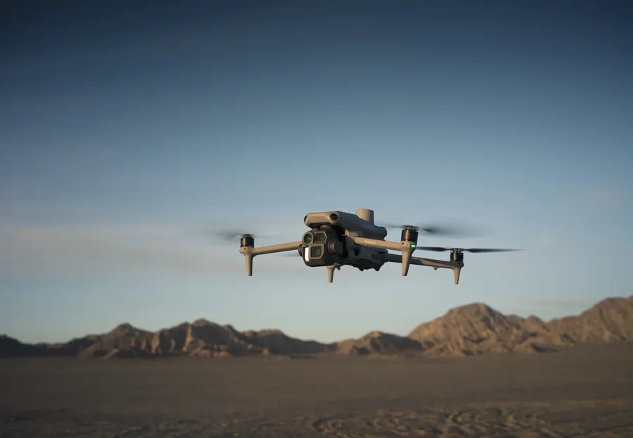
DJI Matrice 4 Series offers real-time AI detection of people, vehicles, and boats, featuring intelligent capabilities like FlyTo, POI, Smart Track, and Cruise, along with advanced tools such as Observed View, Line & Area Drawing with LRF.
Precision Mapping
The DJI Matrice 4E features a factory-calibrated mapping camera with Distortion Correction 2.0, 3-Directional Ortho Capture covering 2.8km² in a single flight, and 5-Directional Oblique Capture with 40% improved efficiency.
Elevated Flight Safety
DJI M4 Series features a built-in RTK module with extended L5 frequency and low-light fisheye vision sensors. It also includes automatic RTH path planning, preloaded obstacle data, and detailed maps/models for enhanced operational efficiency.
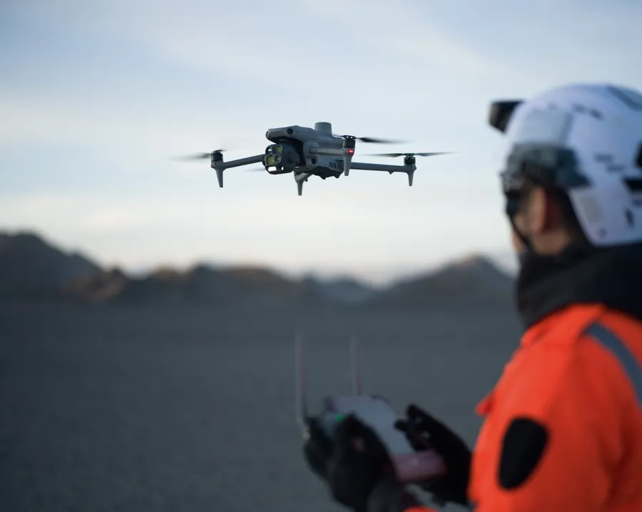
With its robust design and specialised imaging payload, this package ensures reliable operation and exceptional accuracy for every mission. It is the ultimate tool for industries requiring efficient, repeatable, and highly detailed aerial intelligence.
- High-accuracy aerial mapping and surveying capabilities optimised for professional geospatial workflows.
- Includes the DJI Matrice 4 Enterprise RPAS featuring a high-resolution camera with a mechanical shutter.
- Bundled with DJI Care Enterprise Plus protection for comprehensive damage coverage and support.
- Designed for rapid deployment and efficient data collection in challenging environments.
- Offers seamless integration with industry-standard photogrammetry and mapping software.
| Takeoff Weight (with propellers) | 1219g |
| Max Payload | 200g |
| Propeller Size | 10.8" |
| Diagonal Wheelbase | 438.8 mm |
| Max Ascent Speed | 10 m/s |
| Max Descent Speed | 8 m/s |
| Max Horizontal Speed | 21 m/s |
| Max Altitude | 6000m |
| Max Flight Time | 49 min (standard propellers) |
| Max Hover Time (without wind) | 42 min (standard propellers) |
| Max Wind Speed Resistance | 12 m/s |
| Max Pitch Angle | 35° |
| Operating Temperature | -10℃ to 40℃ |
| GNSS | GPS + Galileo + BeiDou + GLONASS |
| Hovering Accuracy Range | ±0.1 m (with Vision System); ±0.5 m (with GNSS); ±0.1 m (with RTK) |
| RTK GNSS Accuracy | 1 cm + 1 ppm (horizontal), 1.5 cm + 1 ppm (vertical) |
| Beacon | Built into the aircraft |
| Camera | |
| Image Sensor | Wide: 4/3-inch CMOS Effective Pixels: 20 MP Medium: 1/1.3-inch CMOS, Effective Pixels: 48 MP Telephoto: 1/1.5-inch CMOS, Effective Pixels: 48 MP |
| Lens | Wide: FOV: 84° Equivalent Focal Length: 24 mm Aperture: f/2.8-f/11 Focus: 1 m to ∞ Medium Tele Camera FOV: 35° Equivalent Focal Length: 70 mm Aperture: f/2.8 Focus: 3 m to ∞ Tele camera FOV: 15° Equivalent Focal Length: 168 mm Aperture: f/2.8 Focus: 3 m to ∞ |
| Laser Rangefinder | |
| Measurement Range: | 1800 m (1 Hz) @20% reflectivity target |
| Distance Measurement Accuracy | 1-3 m: System Error <0.3 m, Random Error <0.1 meters @1σ Other Distances: ±(0.2+0.0015D) (D represents the measurement distance in meters) |
"Best prices guaranteed! We’ll match or beat any legitimate prices."
Read the CASA Drone regulations @ knowyourdrone.gov.au
Brand: DJI |
Code: DJIM4EKIT2
Brand: DJI |
Code: DJIM4EKIT2
At a glance
The DJI Matrice 4 Enterprise Survey Package is a commercial-grade aerial mapping solution designed to deliver high-precision data for surveying and geospatial professionals. This comprehensive package features the advanced DJI Matrice 4 Enterprise platform, complete with DJI Care Enterprise Plus for comprehensive coverage and peace of mind.
"Best prices guaranteed! We’ll match or beat any legitimate prices."
Read the CASA Drone regulations @ knowyourdrone.gov.au
Intelligent Operations With AIDJI Matrice 4 Series offers real-time AI detection of people, vehicles, and boats, featuring intelligent capabilities like FlyTo, POI, Smart Track, and Cruise, along with advanced tools such as Observed View, Line & Area Drawing with LRF. |
|
|
|
Precision MappingThe DJI Matrice 4E features a factory-calibrated mapping camera with Distortion Correction 2.0, 3-Directional Ortho Capture covering 2.8km² in a single flight, and 5-Directional Oblique Capture with 40% improved efficiency. |
Elevated Flight SafetyDJI M4 Series features a built-in RTK module with extended L5 frequency and low-light fisheye vision sensors. It also includes automatic RTH path planning, preloaded obstacle data, and detailed maps/models for enhanced operational efficiency. |
|
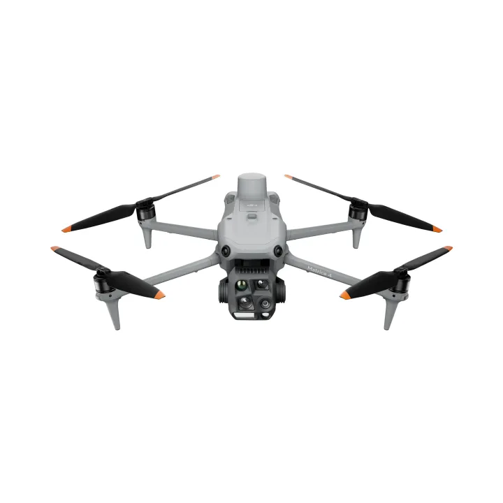
DJI Matrice 4E Enterprise - Inc. DJI Care Enterprise Plus Auto-Activated + 1Y Terra Pro
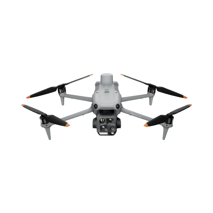
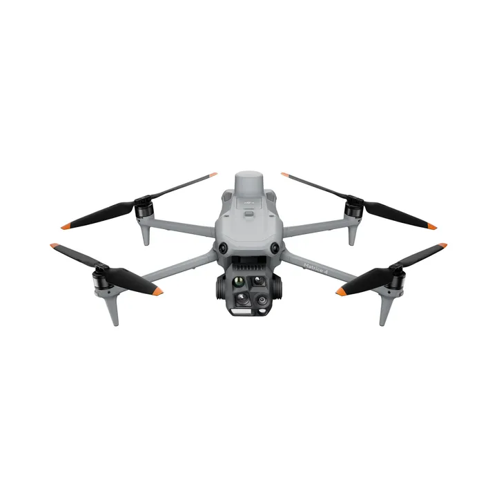
DJI Matrice 4T Thermal - Incl. DJI Care Enterprise Plus Auto-Activated+ 3m Terra Elect